The surveying section offers services in engineering survey comprising of topographical surveys and construction surveys for the design, checking and control of construction of roads, water supply, sewerage, dams and other engineering projects, using the latest survey equipment and software. Other services include;
- Carrying out engineering survey works on the ground, generating digital survey drawing for engineering design work.
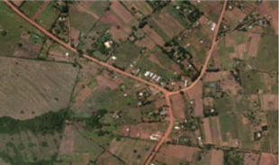
- Surveying and mapping in photogrammetry and remote sensing.
- Designing cadastral databases to support land registration, digitizing of hard copy cadastral maps.
- Carrying out cadastral and topographical surveys and densification of geodetic controls (1st & 2nd order)